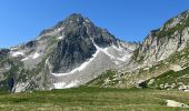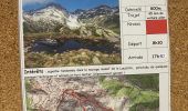

Les portes de Montmélian - Valmorel

dautriche
User

Length
9.7 km

Max alt
2497 m

Uphill gradient
764 m

Km-Effort
19.9 km

Min alt
1770 m

Downhill gradient
764 m
Boucle
Yes
Creation date :
2023-07-11 08:00:25.0
Updated on :
2023-08-02 09:25:34.423
4h31
Difficulty : Very difficult

FREE GPS app for hiking
About
Trail Walking of 9.7 km to be discovered at Auvergne-Rhône-Alpes, Savoy, La Léchère. This trail is proposed by dautriche.
Description
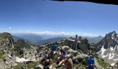
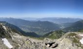
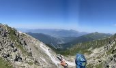
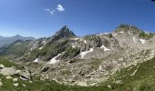
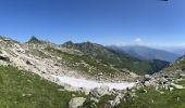
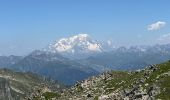
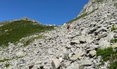
Toujours une randonnée classique du massif depuis l'arrivée du télécabine en boucle avec redescente au village par le télécabine ... ou non ! avec toujours des paysages à couper le souffle.
Positioning
Country:
France
Region :
Auvergne-Rhône-Alpes
Department/Province :
Savoy
Municipality :
La Léchère
Location:
Celliers
Start:(Dec)
Start:(UTM)
297680 ; 5040124 (32T) N.
Comments
Trails nearby
grand pic


Touring skiing
Very easy
(1)
La Léchère,
Auvergne-Rhône-Alpes,
Savoy,
France

13.8 km | 33 km-effort
3h 34min
Yes
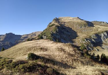
pte de Glais rouge, des Arangles et Roche brisée


Walking
Difficult
La Léchère,
Auvergne-Rhône-Alpes,
Savoy,
France

9.3 km | 21 km-effort
4h 20min
Yes
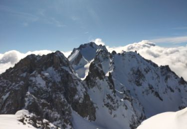
Aiguille de la Balme


Touring skiing
Medium
La Léchère,
Auvergne-Rhône-Alpes,
Savoy,
France

11.6 km | 28 km-effort
4h 19min
Yes
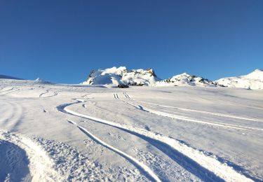
tricotage vers Les Teurs.


Touring skiing
Easy
La Léchère,
Auvergne-Rhône-Alpes,
Savoy,
France

13.1 km | 28 km-effort
4h 2min
Yes
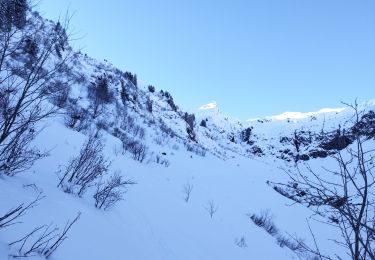
Les marmottes noires


Touring skiing
Medium
La Léchère,
Auvergne-Rhône-Alpes,
Savoy,
France

13.2 km | 28 km-effort
4h 50min
Yes
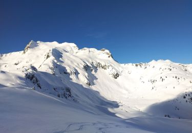
le. chalet de Colomban


Touring skiing
Easy
La Léchère,
Auvergne-Rhône-Alpes,
Savoy,
France

10.1 km | 22 km-effort
2h 0min
No
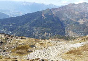
les marmottes noires et Bellacha


Walking
Medium
La Léchère,
Auvergne-Rhône-Alpes,
Savoy,
France

12.2 km | 27 km-effort
5h 25min
Yes
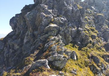
lac de Clartan et grande muraille


Walking
Difficult
La Léchère,
Auvergne-Rhône-Alpes,
Savoy,
France

4.6 km | 9.9 km-effort
3h 7min
Yes
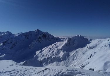
pointe des Arangles


Touring skiing
Medium
La Léchère,
Auvergne-Rhône-Alpes,
Savoy,
France

12.9 km | 29 km-effort
5h 30min
Yes


 SityTrail


